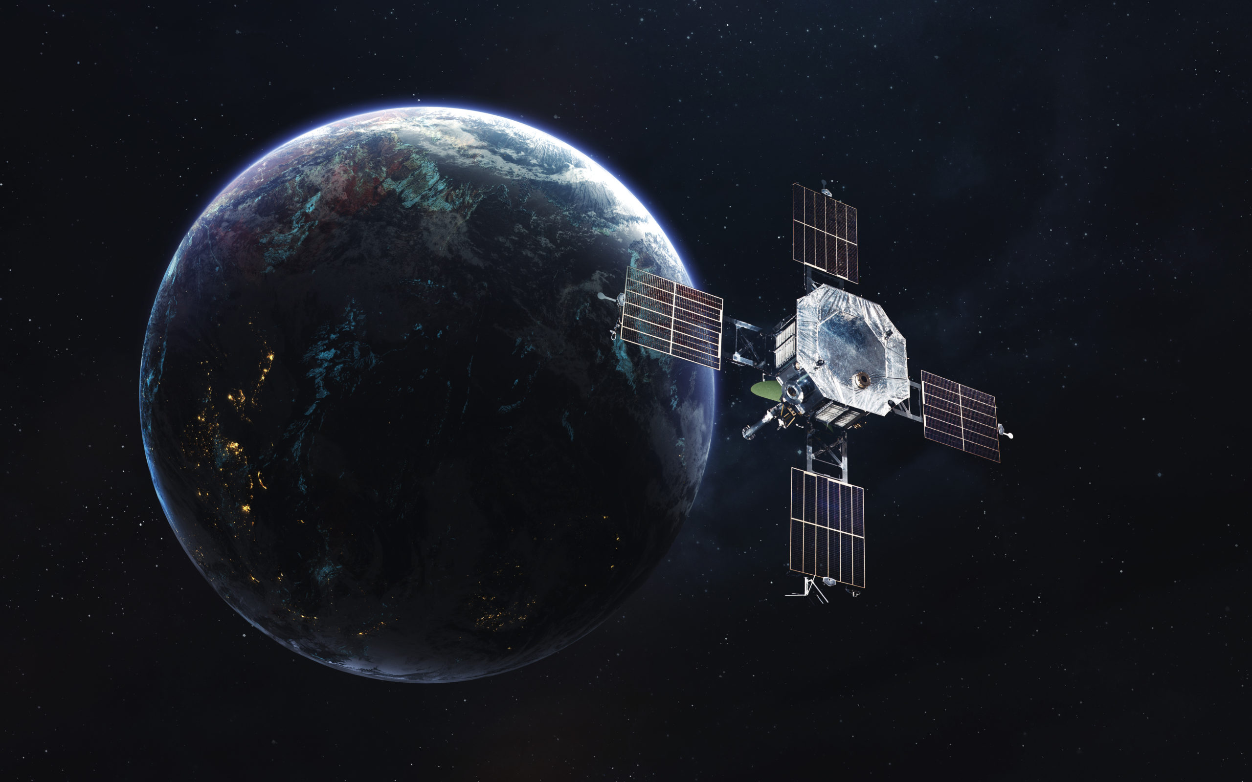


NASA has launched a next-generation water satellite designed to map the seafloor from space. This cutting-edge technology, highlighted on NASA’s official site, utilizes advanced radar systems to gather data on underwater features. The satellite will enhance our understanding of ocean dynamics, including tides, currents, and ecosystem health. By providing detailed maps of the seafloor, this initiative aims to support marine research and conservation efforts. The data collected will be invaluable for scientists and policymakers in addressing climate change and protecting marine environments.